
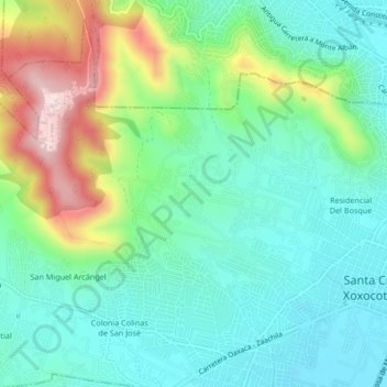
Los Ángeles topographic map
Interactive map
Click on the map to display elevation.
About this map
Name: Los Ángeles topographic map, elevation, terrain.
Location: Los Ángeles, Santa Cruz Xoxocotlán, Oaxaca, 68150, México (17.01611 -96.77278 17.05611 -96.73278)
Average elevation: 5,354 ft
Minimum elevation: 4,961 ft
Maximum elevation: 6,325 ft