
Girón topographic map
Interactive map
Click on the map to display elevation.
About this map
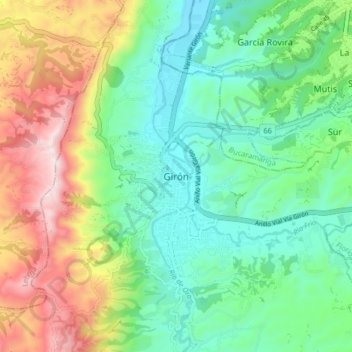
Name: Girón topographic map, elevation, terrain.
Location: Girón, Santander, 687541, Colombia (7.03323 -73.20892 7.11323 -73.12892)
Average elevation: 2,959 ft
Minimum elevation: 2,146 ft
Maximum elevation: 4,587 ft