
Usme topographic map
Interactive map
Click on the map to display elevation.
About this map
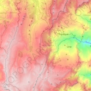
Name: Usme topographic map, elevation, terrain.
Location: Usme, Bogota Capital District, Colombia (4.27282 -74.22029 4.55000 -74.06049)
Average elevation: 10,207 ft
Minimum elevation: 5,902 ft
Maximum elevation: 12,927 ft