
Raggendorf topographic map
Interactive map
Click on the map to display elevation.
About this map
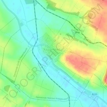
Name: Raggendorf topographic map, elevation, terrain.
Location: Raggendorf, Bezirk Gänserndorf, Lower Austria, 2215, Austria (48.38875 16.65237 48.39835 16.66663)
Average elevation: 591 ft
Minimum elevation: 512 ft
Maximum elevation: 709 ft