
Ishaward topographic map
Interactive map
Click on the map to display elevation.
About this map
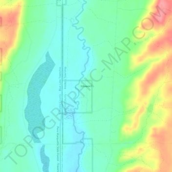
Name: Ishaward topographic map, elevation, terrain.
Location: Ishaward, Crawford County, Michigan, 49973, USA (44.79335 -84.85948 44.83335 -84.81948)
Average elevation: 1,240 ft
Minimum elevation: 1,145 ft
Maximum elevation: 1,434 ft