
Escallani topographic map
Interactive map
Click on the map to display elevation.
About this map
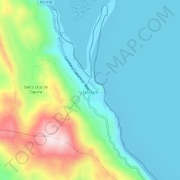
Name: Escallani topographic map, elevation, terrain.
Location: Escallani, Capachica, Puno, Perú (-15.51756 -69.91705 -15.47756 -69.87705)
Average elevation: 12,904 ft
Minimum elevation: 12,490 ft
Maximum elevation: 14,081 ft
Other topographic maps
Click on a map to view its topography, its elevation and its terrain.