
La Ofelia topographic map
Interactive map
Click on the map to display elevation.
About this map
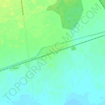
Name: La Ofelia topographic map, elevation, terrain.
Location: La Ofelia, Ciego de Avila, Cuba (21.70802 -78.90165 21.74802 -78.86165)
Average elevation: 75 ft
Minimum elevation: 52 ft
Maximum elevation: 105 ft
Other topographic maps
Click on a map to view its topography, its elevation and its terrain.
Venezuela
Cuba > Ciego de Avila > Venezuela
Venezuela, Ciego de Avila, 67800, Cuba
Average elevation: 62 ft
La Division
Cuba > Ciego de Avila > La Division
La Division, Majagua, Ciego de Avila, Cuba
Average elevation: 430 ft