
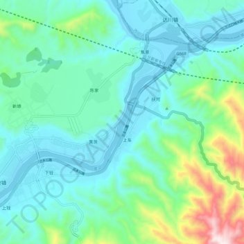
Huang He topographic map
Interactive map
Click on the map to display elevation.
About this map
Name: Huang He topographic map, elevation, terrain.
Location: Huang He, 盐锅峡镇, 永靖县, 临夏回族自治州, 甘肃省, 中国 (36.06341 103.27849 36.12456 103.38200)
Average elevation: 5,738 ft
Minimum elevation: 5,177 ft
Maximum elevation: 7,979 ft