
Catena topographic map
Interactive map
Click on the map to display elevation.
About this map
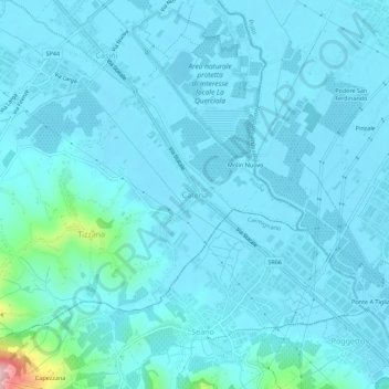
Name: Catena topographic map, elevation, terrain.
Location: Catena, Quarrata, Pistoia, Toscane, 51039, Italie (43.82252 10.99593 43.86252 11.03593)
Average elevation: 174 ft
Minimum elevation: 108 ft
Maximum elevation: 896 ft
Other topographic maps
Click on a map to view its topography, its elevation and its terrain.