
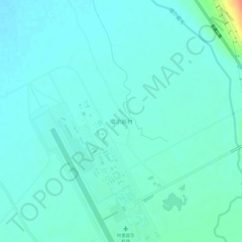
噶尔新村 topographic map
Interactive map
Click on the map to display elevation.
About this map
Name: 噶尔新村 topographic map, elevation, terrain.
Location: 噶尔新村, 昆莎乡, 噶尔县, 阿里地区, 西藏自治区, 859000, 中国 (32.09909 80.03549 32.13909 80.07549)
Average elevation: 13,990 ft
Minimum elevation: 13,963 ft
Maximum elevation: 14,117 ft