
Raesfeld topographic map
Interactive map
Click on the map to display elevation.
About this map
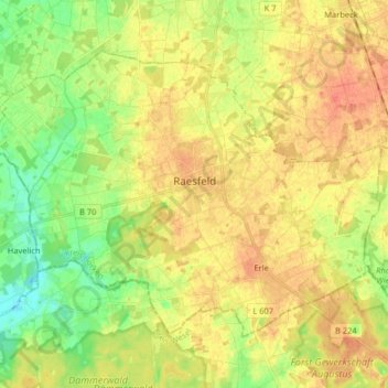
Name: Raesfeld topographic map, elevation, terrain.
Location: Raesfeld, Kreis Borken, Noordrijn-Westfalen, 46348, Duitsland (51.72890 6.75429 51.80283 6.91630)
Average elevation: 177 ft
Minimum elevation: 105 ft
Maximum elevation: 233 ft