
Indiana Dunes National Park topographic map
Interactive map
Click on the map to display elevation.
About this map
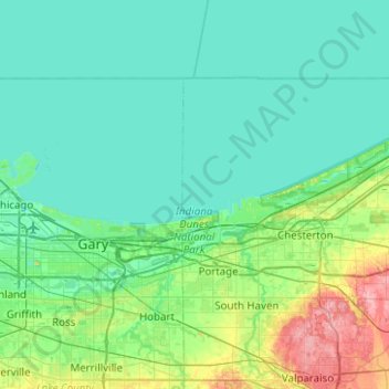
Name: Indiana Dunes National Park topographic map, elevation, terrain.
Average elevation: 617 ft
Minimum elevation: 564 ft
Maximum elevation: 876 ft
Miller Woods is located in Miller Beach, Indiana. It is accessed through the Paul H. Douglas Center for Environmental Education on Lake Street. The area is dominated by ridge and swale topography. the ridges or swells are beach and dune sand. They date from the post Glacial Lake Nipissing period some 3000 years before present. The swales are the depressions between the ridges. They are generally either ponds or marshes.