
Kampung Panji topographic map
Interactive map
Click on the map to display elevation.
About this map
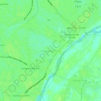
Name: Kampung Panji topographic map, elevation, terrain.
Location: Kampung Panji, Kota Bharu, Kelantan, 16100, Malaysia (6.10621 102.27482 6.14621 102.31482)
Average elevation: 23 ft
Minimum elevation: -10 ft
Maximum elevation: 36 ft