
Cantoloc topographic map
Interactive map
Click on the map to display elevation.
About this map
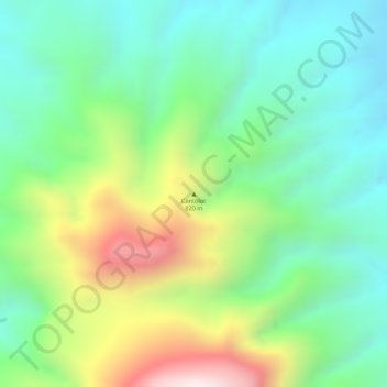
Name: Cantoloc topographic map, elevation, terrain.
Location: Cantoloc, Maasin, Eastern Visayas, Philippines (10.29995 125.21662 10.30005 125.21672)
Average elevation: 1,555 ft
Minimum elevation: 817 ft
Maximum elevation: 2,877 ft