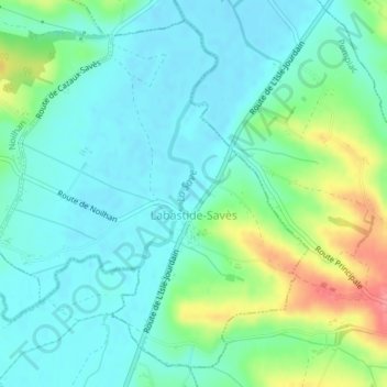
Labastide-Savès topographic map
Interactive map
Click on the map to display elevation.
About this map
Name: Labastide-Savès topographic map, elevation, terrain.
Average elevation: 574 ft
Minimum elevation: 502 ft
Maximum elevation: 771 ft

Click on the map to display elevation.
Name: Labastide-Savès topographic map, elevation, terrain.
Average elevation: 574 ft
Minimum elevation: 502 ft
Maximum elevation: 771 ft