
Lippertsgrün topographic map
Interactive map
Click on the map to display elevation.
About this map
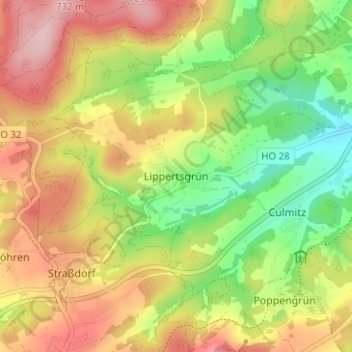
Name: Lippertsgrün topographic map, elevation, terrain.
Location: Lippertsgrün, Naila, Landkreis Hof, Bayern, 95119, Deutschland (50.28650 11.62716 50.32650 11.66716)
Average elevation: 2,077 ft
Minimum elevation: 1,749 ft
Maximum elevation: 2,411 ft