
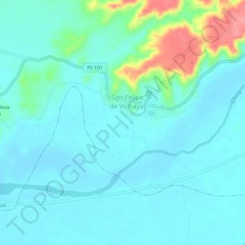
VIchay topographic map
Interactive map
Click on the map to display elevation.
About this map
Name: VIchay topographic map, elevation, terrain.
Location: VIchay, Paita, Departamento de Piura, Perú (-4.88802 -81.09206 -4.84802 -81.05206)
Average elevation: 56 ft
Minimum elevation: 3 ft
Maximum elevation: 292 ft