
Moores Lake topographic map
Interactive map
Click on the map to display elevation.
About this map
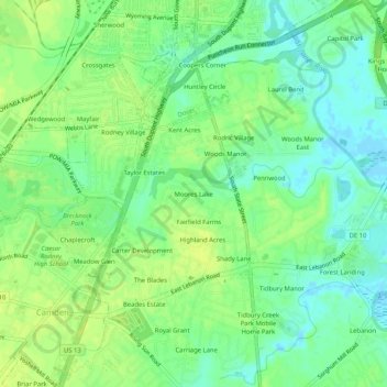
Name: Moores Lake topographic map, elevation, terrain.
Location: Moores Lake, Kent County, Delaware, 19901:19962, USA (39.10564 -75.54307 39.14564 -75.50307)
Average elevation: 33 ft
Minimum elevation: -13 ft
Maximum elevation: 56 ft