
Comuna 9 topographic map
Interactive map
Click on the map to display elevation.
About this map
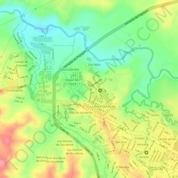
Name: Comuna 9 topographic map, elevation, terrain.
Average elevation: 5,581 ft
Minimum elevation: 5,423 ft
Maximum elevation: 5,755 ft
Other topographic maps
Click on a map to view its topography, its elevation and its terrain.
Comuna 1
Colombie > Cauca > Perímetro Urbano Popayán
Comuna 1, Perímetro Urbano Popayán, Popayán, Centro, Cauca, RAP Pacífico, Colombie
Average elevation: 5,774 ft