
Moha topographic map
Interactive map
Click on the map to display elevation.
About this map
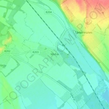
Name: Moha topographic map, elevation, terrain.
Average elevation: 407 ft
Minimum elevation: 354 ft
Maximum elevation: 551 ft
Other topographic maps
Click on a map to view its topography, its elevation and its terrain.
Bicskei járás
Bicskei járás, Fejér vármegye, Transdanubie centrale, Transdanubie, Hongrie
Average elevation: 666 ft