
Santa María Guelacé topographic map
Interactive map
Click on the map to display elevation.
About this map
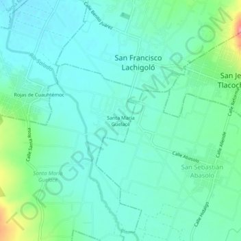
Name: Santa María Guelacé topographic map, elevation, terrain.
Location: Santa María Guelacé, Oaxaca, 70460, México (16.98167 -96.62250 17.02167 -96.58250)
Average elevation: 5,161 ft
Minimum elevation: 5,089 ft
Maximum elevation: 5,404 ft