
NSG Kamptal topographic map
Interactive map
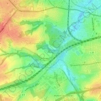
Click on the map to display elevation.
About this map
Name: NSG Kamptal topographic map, elevation, terrain.
Average elevation: 259 ft
Minimum elevation: 174 ft
Maximum elevation: 351 ft
Other topographic maps
Click on a map to view its topography, its elevation and its terrain.
Krupp-Park
Germany > North Rhine-Westphalia > Essen
Krupp-Park, Westviertel, Stadtbezirk I, Essen, North Rhine-Westphalia, 45143, Germany
Average elevation: 220 ft