
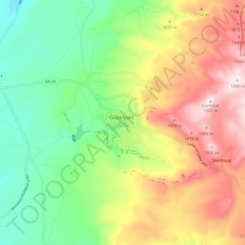
Güzelyurt topographic map
Interactive map
Click on the map to display elevation.
About this map
Name: Güzelyurt topographic map, elevation, terrain.
Location: Güzelyurt, Aksaray, Central Anatolia Region, Turkey (38.23599 34.33177 38.31599 34.41177)
Average elevation: 5,075 ft
Minimum elevation: 4,062 ft
Maximum elevation: 6,467 ft