
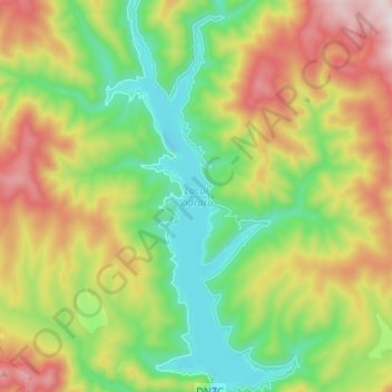
Lake Vidraru topographic map
Interactive map
Click on the map to display elevation.
About this map
Name: Lake Vidraru topographic map, elevation, terrain.
Location: Lake Vidraru, Arefu, Argeș, Romania (45.36530 24.59440 45.45832 24.65653)
Average elevation: 3,615 ft
Minimum elevation: 2,582 ft
Maximum elevation: 5,272 ft
Other topographic maps
Click on a map to view its topography, its elevation and its terrain.