
妙峰山骑行小镇 topographic map
Interactive map
Click on the map to display elevation.
About this map
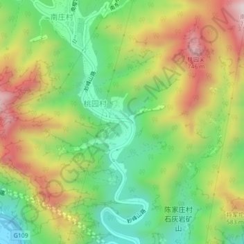
Name: 妙峰山骑行小镇 topographic map, elevation, terrain.
Location: 妙峰山骑行小镇, 桃园村, 门头沟区, 北京市, 中国 (40.00650 116.03820 40.02650 116.05820)
Average elevation: 1,325 ft
Minimum elevation: 492 ft
Maximum elevation: 2,418 ft