
Obed topographic map
Interactive map
Click on the map to display elevation.
About this map
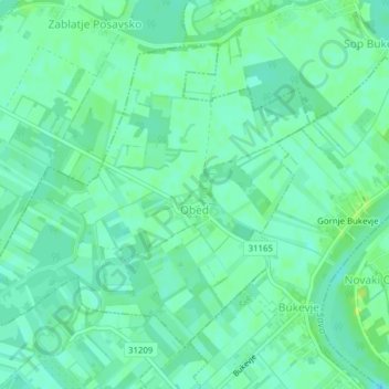
Name: Obed topographic map, elevation, terrain.
Location: Obed, Municipality of Orle, Zagreb County, Croatia (45.72042 16.16867 45.74166 16.20749)
Average elevation: 331 ft
Minimum elevation: 312 ft
Maximum elevation: 361 ft
Other topographic maps
Click on a map to view its topography, its elevation and its terrain.