
Sotosalbos topographic map
Interactive map
Click on the map to display elevation.
About this map
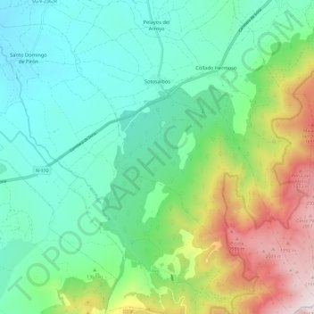
Name: Sotosalbos topographic map, elevation, terrain.
Location: Sotosalbos, Segovia, Castilla y León, España (40.96920 -3.97215 41.05775 -3.88084)
Average elevation: 4,469 ft
Minimum elevation: 3,422 ft
Maximum elevation: 7,077 ft