
Großglockner topographic map
Click on the map to display elevation.
Großglockner
The Glockner is the highest mountain in the Alps east of the Ortler range, about 175 km (109 mi) away, and, after Mont Blanc, has the second greatest topographic isolation of all mountains in the Alps. Even its topographic prominence, at 2,424 m (7,953 ft), is the second highest after Mont Blanc in the entire Alps (see the list of Alpine peaks by prominence). That makes it one of the most independent peaks in the Alps. The view from the Grossglockner summit is one of the farthest of all mountains in the Eastern Alps. It ranges out to 220 km (140 mi) or, taking account of atmospheric refraction, almost 240 km (150 mi). Its view over more than 150,000 km2 (58,000 mi2) of the Earth's surface reaches as far as the Upper Swabian Plateau in the northwest, to Regensburg and the peaks of the Bohemian Forest in the north, to Ortler in the west, to the Padan Plain in the south, and to Triglav and the Totes Gebirge range in the east.
About this map
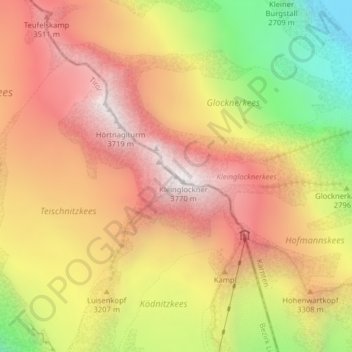
Name: Großglockner topographic map, elevation, terrain.
Average elevation: 10,262 ft
Minimum elevation: 7,710 ft
Maximum elevation: 12,096 ft