
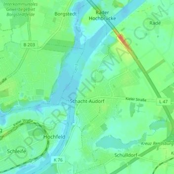
Schacht-Audorf topographic map
Interactive map
Click on the map to display elevation.
About this map
Name: Schacht-Audorf topographic map, elevation, terrain.
Average elevation: 39 ft
Minimum elevation: -10 ft
Maximum elevation: 135 ft
Other topographic maps
Click on a map to view its topography, its elevation and its terrain.
Nord-Ostsee-Kanal
Deutschland > Schleswig-Holstein > Schacht-Audorf
Nord-Ostsee-Kanal, Schacht-Audorf, Eiderkanal, Rendsburg-Eckernförde, Schleswig-Holstein, Deutschland
Average elevation: 33 ft