
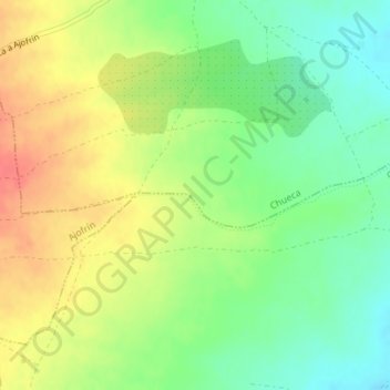
Pedro González topographic map
Interactive map
Click on the map to display elevation.
About this map
Name: Pedro González topographic map, elevation, terrain.
Location: Pedro González, Chueca, Toledo, Castilla-La Mancha, España (39.70440 -3.95436 39.72440 -3.93436)
Average elevation: 2,438 ft
Minimum elevation: 2,352 ft
Maximum elevation: 2,533 ft