
那苏 topographic map
Interactive map
Click on the map to display elevation.
About this map
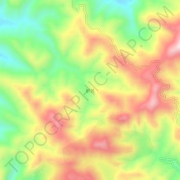
Name: 那苏 topographic map, elevation, terrain.
Location: 那苏, 广南县 (Guangnan), 文山州, Yunnan, China (24.18390 104.63900 24.22390 104.67900)
Average elevation: 5,397 ft
Minimum elevation: 4,570 ft
Maximum elevation: 6,240 ft