
Alfred B Maclay Gardens State Park topographic map
Interactive map
Click on the map to display elevation.
About this map
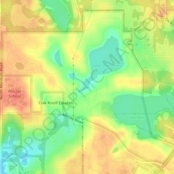
Name: Alfred B Maclay Gardens State Park topographic map, elevation, terrain.
Average elevation: 190 ft
Minimum elevation: 98 ft
Maximum elevation: 262 ft