
Masella topographic map
Interactive map
Click on the map to display elevation.
About this map
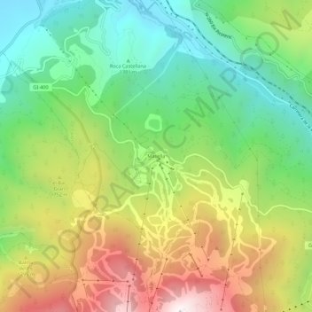
Name: Masella topographic map, elevation, terrain.
Location: Masella, Alp, Cerdaña, Gerona, Cataluña, 17538, España (42.33110 1.88122 42.37110 1.92122)
Average elevation: 5,305 ft
Minimum elevation: 3,760 ft
Maximum elevation: 7,582 ft
Other topographic maps
Click on a map to view its topography, its elevation and its terrain.