
Charles M Taylor III Nature Preserve topographic map
Interactive map
Click on the map to display elevation.
About this map
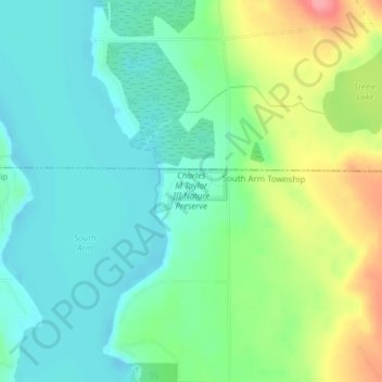
Name: Charles M Taylor III Nature Preserve topographic map, elevation, terrain.
Average elevation: 633 ft
Minimum elevation: 538 ft
Maximum elevation: 840 ft