Geolocate

Tevere topographic map

Click on the map to display elevation.

About this map

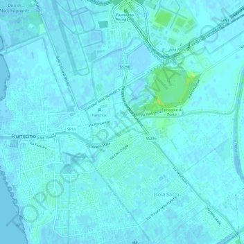
Name: Tevere topographic map, elevation, terrain.

Location: Tevere, Fiumicino, Roma Capitale, Lazio, Italy (41.76981 12.22096 41.77751 12.27879)

Average elevation: 7 ft

Minimum elevation: -10 ft

Maximum elevation: 49 ft

Gear up for your next adventure:

🧢Sun Protection Hats - Wide-brimmed and UPF-rated hats for high-altitude sun safety
🪶Fire Starter Kit - Reliable fire starter for survival and camping
🚗GPS Dash Cams - Record your scenic drives through mountain passes and canyons
🧥Waterproof Jacket for Hiking - Breathable and rugged rain jacket for outdoor excursions
🧭Map Reading Tools - Tools and kits for map navigation

As an Amazon Associate, this site earns from qualifying purchases at no extra cost to you.