
Chemora topographic map
Interactive map
Click on the map to display elevation.
About this map
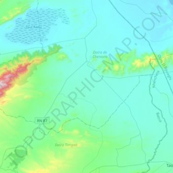
Name: Chemora topographic map, elevation, terrain.
Location: Chemora, Daïra Chemora, Batna, Algérie (35.55677 6.45167 35.70381 6.77341)
Average elevation: 3,038 ft
Minimum elevation: 2,710 ft
Maximum elevation: 5,427 ft