
Ayolas topographic map
Interactive map
Click on the map to display elevation.
About this map
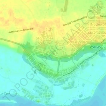
Name: Ayolas topographic map, elevation, terrain.
Location: Ayolas, Misiones, Región Oriental, Paraguay (-27.40877 -56.87131 -27.37508 -56.83508)
Average elevation: 233 ft
Minimum elevation: 190 ft
Maximum elevation: 279 ft