
Cameron Mountain topographic map
Interactive map
Click on the map to display elevation.
About this map
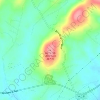
Name: Cameron Mountain topographic map, elevation, terrain.
Location: Cameron Mountain, Orange County, Virginia, United States (38.15481 -78.20033 38.15491 -78.20023)
Average elevation: 584 ft
Minimum elevation: 472 ft
Maximum elevation: 860 ft
Other topographic maps
Click on a map to view its topography, its elevation and its terrain.
Orange
United States > Virginia > Orange County > Orange
Orange, Orange County, Virginia, 22898, United States
Average elevation: 499 ft