
Möderbrugg topographic map
Interactive map
Click on the map to display elevation.
About this map
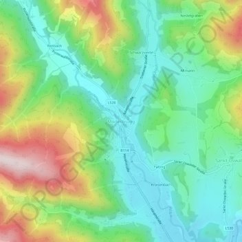
Name: Möderbrugg topographic map, elevation, terrain.
Average elevation: 3,524 ft
Minimum elevation: 2,913 ft
Maximum elevation: 4,734 ft
Other topographic maps
Click on a map to view its topography, its elevation and its terrain.
Gießhübl
Österreich > Steiermark > Bezirk Murtal > Pölstal
Gießhübl, Pölstal, Bezirk Murtal, Steiermark, 8765, Österreich
Average elevation: 4,465 ft