
菜园村 topographic map
Interactive map
Click on the map to display elevation.
About this map
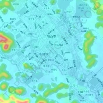
Name: 菜园村 topographic map, elevation, terrain.
Location: 菜园村, 靖西市, 百色市, 广西壮族自治区, 中国 (23.11114 106.39390 23.15114 106.43390)
Average elevation: 2,490 ft
Minimum elevation: 2,402 ft
Maximum elevation: 3,209 ft
Other topographic maps
Click on a map to view its topography, its elevation and its terrain.