
Viso topographic map
Interactive map
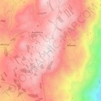
Click on the map to display elevation.
About this map
Name: Viso topographic map, elevation, terrain.
Location: Viso, Celorico de Basto, Braga, 4820-840, Portugal (41.41186 -8.06281 41.41196 -8.06271)
Average elevation: 2,280 ft
Minimum elevation: 994 ft
Maximum elevation: 2,766 ft
Other topographic maps
Click on a map to view its topography, its elevation and its terrain.
Arnoia
Portugal > Braga > Celorico de Basto
Arnoia, Celorico de Basto, Braga, Portugal
Average elevation: 1,125 ft