
丁字沽街道 topographic map
Interactive map
Click on the map to display elevation.
About this map
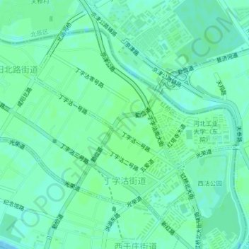
Name: 丁字沽街道 topographic map, elevation, terrain.
Location: 丁字沽街道, 红桥区, 天津市, 300130, 中国 (39.16874 117.14422 39.18917 117.17267)
Average elevation: 23 ft
Minimum elevation: 10 ft
Maximum elevation: 30 ft
Other topographic maps
Click on a map to view its topography, its elevation and its terrain.