
Bamburg topographic map
Interactive map
Click on the map to display elevation.
About this map
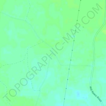
Name: Bamburg topographic map, elevation, terrain.
Location: Bamburg, Echols County, Georgia, United States (30.76743 -82.92403 30.78743 -82.90403)
Average elevation: 157 ft
Minimum elevation: 141 ft
Maximum elevation: 171 ft