
South Athol topographic map
Interactive map
Click on the map to display elevation.
About this map
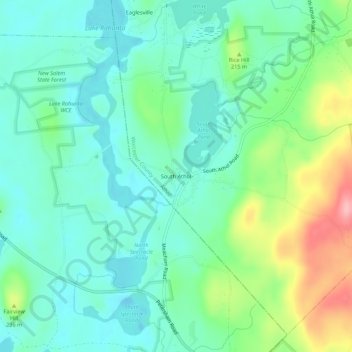
Name: South Athol topographic map, elevation, terrain.
Average elevation: 620 ft
Minimum elevation: 495 ft
Maximum elevation: 942 ft
Other topographic maps
Click on a map to view its topography, its elevation and its terrain.
Pinedale
United States > Massachusetts > Worcester County > Athol > Pinedale
Pinedale, Athol, Worcester County, Massachusetts, 01331-1915, United States
Average elevation: 686 ft