
Kampung Alor Bemban topographic map
Interactive map
Click on the map to display elevation.
About this map
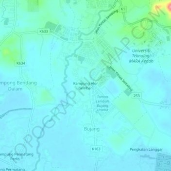
Name: Kampung Alor Bemban topographic map, elevation, terrain.
Location: Kampung Alor Bemban, Bujang, Kuala Muda, Kedah, Malaysia (5.68005 100.41327 5.72005 100.45327)
Average elevation: 43 ft
Minimum elevation: 0 ft
Maximum elevation: 325 ft