
塔源镇 topographic map
Interactive map
Click on the map to display elevation.
About this map
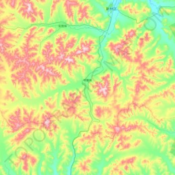
Name: 塔源镇 topographic map, elevation, terrain.
Location: 塔源镇, 新林区, 大兴安岭地区, 黑龙江省, 中国 (51.27187 123.69361 51.58550 124.55433)
Average elevation: 2,362 ft
Minimum elevation: 1,591 ft
Maximum elevation: 3,783 ft