
万家村 topographic map
Interactive map
Click on the map to display elevation.
About this map
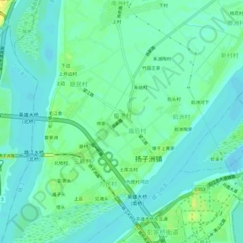
Name: 万家村 topographic map, elevation, terrain.
Location: 万家村, 扬子洲镇, 东湖区, 南昌市, 江西省, 330006, 中国 (28.71153 115.88630 28.75153 115.92630)
Average elevation: 62 ft
Minimum elevation: 36 ft
Maximum elevation: 115 ft
Other topographic maps
Click on a map to view its topography, its elevation and its terrain.