
雄州街道 topographic map
Interactive map
Click on the map to display elevation.
About this map
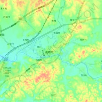
Name: 雄州街道 topographic map, elevation, terrain.
Location: 雄州街道, 南雄市, 韶关市, 广东省, 512400, 中国 (25.08131 114.26827 25.16131 114.34827)
Average elevation: 446 ft
Minimum elevation: 367 ft
Maximum elevation: 571 ft
Other topographic maps
Click on a map to view its topography, its elevation and its terrain.