
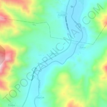
Tekeli topographic map
Interactive map
Click on the map to display elevation.
About this map
Name: Tekeli topographic map, elevation, terrain.
Location: Tekeli, Oltu, Erzurum, Eastern Anatolia Region, Turkey (40.69011 42.15217 40.73011 42.19217)
Average elevation: 3,980 ft
Minimum elevation: 3,396 ft
Maximum elevation: 5,472 ft