
Bellevue Upground Reservoir Number Four Dam topographic map
Interactive map
Click on the map to display elevation.
About this map
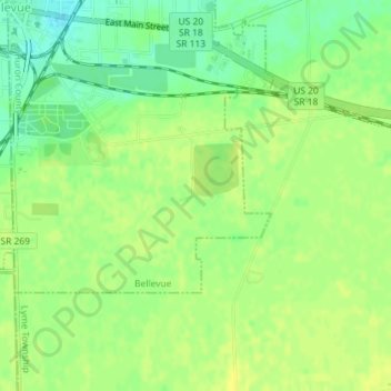
Name: Bellevue Upground Reservoir Number Four Dam topographic map, elevation, terrain.
Average elevation: 778 ft
Minimum elevation: 738 ft
Maximum elevation: 797 ft